[ Article ]
GIS for Urban Planning: Revolutionising Smart Cities Solutions with Geospatial Technology and AI
Written by Kurt Janssen
6 August 2023
Share this post
The rapid pace of urbanisation is shaping the future, drawing more people to cities in search of better opportunities and an improved quality of life. However, this urban expansion brings a series of challenges to infrastructure, resources, and the environment. Recognising the complexity of these issues, the integration of Geospatial technology and Artificial Intelligence (AI) has emerged as a potent instrument for governments and organisations involved in city planning for smart cities.
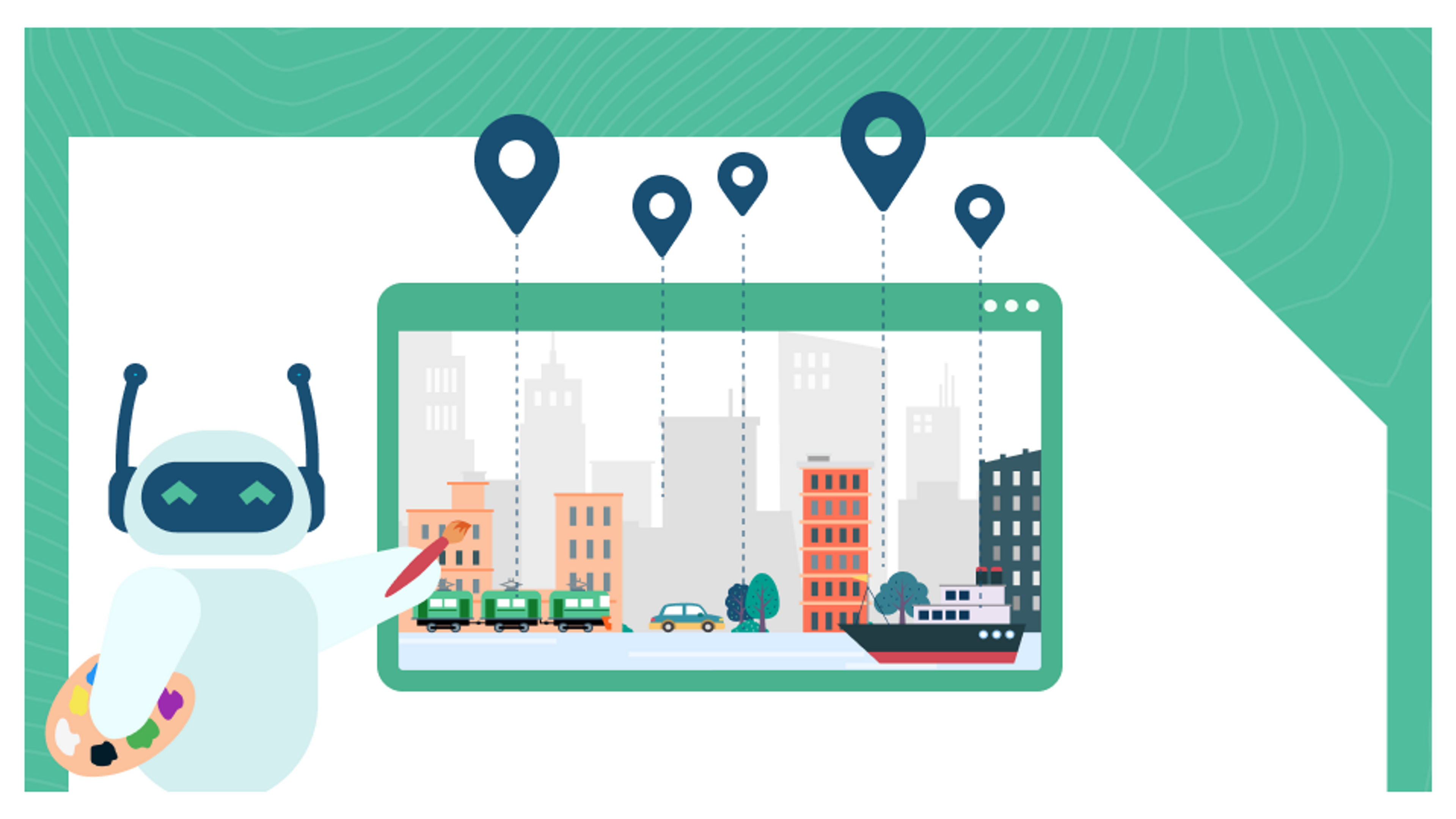
At the heart of this revolution is geospatial technology - a cornerstone in urban planning. It involves collecting, analysing, and visualising spatial data to understand the geography and features of an area. This provides vital insights for effective urban planning and development.
AI, acting as a catalyst, then plays a pivotal role in transforming urban landscapes into smart cities. With its capacity to process large volumes of data and discern patterns, Artificial Intelligence paves the way for cities to optimise resource allocation, elevate public services, and proactively respond to urban challenges.
However, the real magic unfolds when geospatial technology is combined with AI, thus giving rise to innovative GIS for urban planning. This combination revolutionises urban planning and management by providing predictive models that empower governments and organisations to tackle challenges related to population growth, traffic patterns, and environmental risks.
At Orbica, we've long recognised the potential of this fusion and have integrated it into our ground-breaking Geospatial Platform. As the first of its kind, this cloud-native platform, built on the AWS Cloud, utilises AI to improve efficiency, democratise data, and create smart city planning solutions, thereby enhancing the use of GIS for urban planning.
Embracing the trifecta of Cloud, AI, and Geospatial technology, our Platform moves beyond simple mapping. It leverages advancements in satellite imagery, LiDAR, and GPS data to provide detailed insights into urban landscapes. In doing so, it sets the stage for next-gen Artificial Intelligence in smart cities.
With the constant progression of technology, we believe that the potential for transforming urban landscapes through smart city solutions will only continue to grow.
Discover more about Orbica's Geospatial Platform here.
Together, let's build a brighter future with Geospatial technology, AI, and visionary urban planning.